1h 23m
Estimated time
Est. time
1.4mi
Estimated length
Est. length
Very hilly
Elevation
Elevation
Easy
Moderate
Good conditions
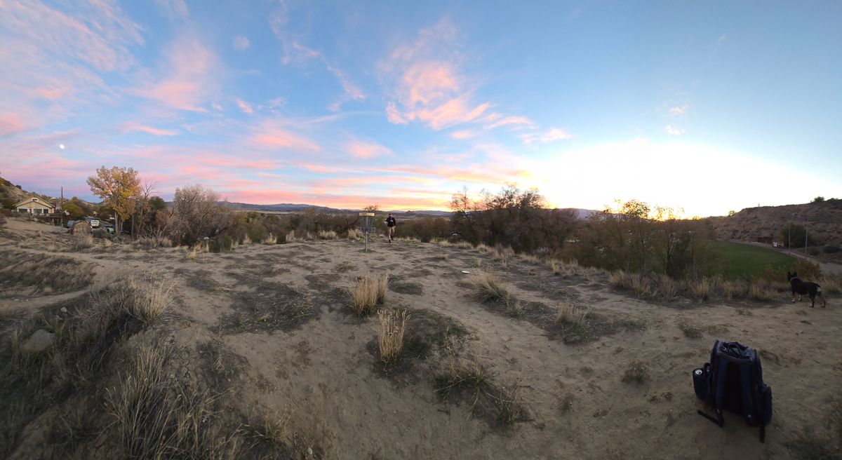
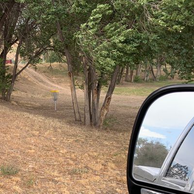
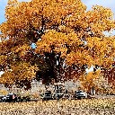
About the course
Short but challenging course located in a town park. Good variety with plenty of obstacles in play making shot shaping a necessity. Mix of terrain including flat fields, wooded tunnel shots and significant elevation change. Tricky basket locations add to the difficulty.
Course is easily accessible from I-70, has bathrooms on site and two practice baskets near the first tee.
Some holes play close to each other or even cross. The course is also in a mixed use park (baseball diamond, bandstand, skate park, athletic fields). Please be courteous if others are on the course. Tee signs are in place for most holes but first time players will want to use a map and scout basket locations of a few (3, 9 and 10 especially).
15 holes
Concrete, Outdoor carpet Tees
DISCatcher Pro (original), DIScatcher pro Targets
Mixed use
Public park
Dogs allowed
Not cart friendly
No drinking water available
No restroom available
Not stroller friendly
Not recommended for individuals with limited mobility
Established in 2014
Time your trip
Course traffic - Players usually spend 1 - 1.5 hours here.
Want access to real-time course traffic?It's on UDisc Pro.
Location
See the maps
Time your trip
Course traffic - Players usually spend 1 - 1.5 hours here.
Want access to real-time course traffic?It's on UDisc Pro.
What's in the area
Follow course maps with the UDisc app
Scan with your mobile device
Reviews
Show allUpkeep
3.3
Shot variety/design
4.1
Tee areas
2.7
Signage/wayfinding
2.4
Amenities
2.7
Scenery/views
4.1
@northernpines
163
A very playable course with a few unique and fun shots, but overall a lack of care to the park. Missing many tee signs, some holes with no tee pads or indication of any sort, and lots of animal poop leads me to believe people use the park as a place where they don't pick up after their dogs

@ladonna77
78
Love th enter pads now!
Upcoming events
Show allNo upcoming events!
Nearby courses
Nearby stores
Frequently asked questions
How do I get to Stoney Ridge?
How do I get to Stoney Ridge?
You can get directions to Stoney Ridge by clicking Get Directions, which will open your device's map application with the disc golf course location. The disc golf course is located at 39.551489, -107.65358 in Silt, Colorado.
Do I need to pay to play disc golf at Stoney Ridge?
Do I need to pay to play disc golf at Stoney Ridge?
Stoney Ridge is free to play! Just show up and enjoy the disc golf course.
What is the difficulty and length of Stoney Ridge?
What is the difficulty and length of Stoney Ridge?
Stoney Ridge has 15 disc golf holes and has a difficulty rating of "Easy" and "Moderate". The typical disc golf round at Stoney Ridge takes about 1 hour and covers approximately 1.4 miles (2.3 km).
How highly rated is Stoney Ridge by the disc golf community?
How highly rated is Stoney Ridge by the disc golf community?
Stoney Ridge has an average rating of 3.6 out of 5 stars based on 148 community reviews. This is considered a good course rating by the disc golf community.
What amenities are available at Stoney Ridge?
What amenities are available at Stoney Ridge?
Stoney Ridge offers the following amenities: 15 disc golf holes, pet-friendly areas.
When is the best time to play at Stoney Ridge?
When is the best time to play at Stoney Ridge?
Upgrade to UDisc Pro to see detailed course traffic patterns and find the best times to play disc golf here.
How can I record my disc golf round at Stoney Ridge?
How can I record my disc golf round at Stoney Ridge?
You can record your disc golf round using the UDisc mobile app. If on your phone, tap the "Start a Round" button at the bottom of this page to begin navigating Stoney Ridge and recording your disc golf round. The app provides GPS-enabled disc golf hole maps, scorekeeping, and statistics. Upgrade to UDisc Pro for advanced features like detailed statistics and course traffic information.